
How Drones and AI Read a Field From the Sky
How Drones and AI Read a Field From the Sky
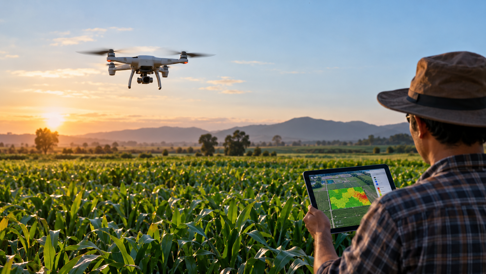
A farmer walking through a large field may not notice that some plants are beginning to experience water stress or disease. The early signs can be difficult to recognize, especially when the affected area is small. Drones equipped with cameras and sensors can help farmers examine these areas from above and identify changes that may otherwise go unnoticed.
Artificial intelligence (AI) can analyze the images collected by drones and identify patterns associated with crop health. However, finding an unusual pattern does not always reveal its cause. A plant affected by water stress may show changes similar to those caused by disease or nutrient deficiency. Farmers need more than an image to decide what action to take.
Recent agricultural research has explored how drone imagery, machine learning, and field measurements can be used together to monitor crops and support farming decisions.
What the Camera Sees and What AI Learns
The information collected by a drone depends on the type of camera or sensor it carries.
A regular RGB camera captures visible features such as leaf color and changes in plant appearance. Multispectral cameras collect information from additional wavelengths of light, including near-infrared, which can help assess vegetation conditions. Thermal cameras measure temperature differences that may indicate water stress.
The USDA Agricultural Research Service has been studying the use of drones and remote sensing technologies for irrigation management. Its research includes collecting information about crop growth and water stress to support irrigation decisions. [2]
The images alone are not enough to determine whether a plant is healthy. Researchers also need measurements collected directly from the field. These measurements help establish what different levels of crop stress look like and provide examples for training machine-learning models.
Engineering, robotics, and AI serve different purposes in this process. Engineering brings together the cameras, sensors, and drone hardware. Robotics handles flight control and navigation, while machine learning analyzes the collected data to recognize patterns.
A drone may be capable of flying across a field without human control, but identifying the reason behind an unhealthy crop requires additional analysis.
What the Walnut Study Found
Researchers Kaitlyn Wang and Yufang Jin studied how drone imagery could be used to identify water stress in walnut trees in California. [1]
They collected data from five drone flights conducted between 2017 and 2018 over a commercial walnut orchard. The researchers combined multispectral images with weather information and measurements taken directly from the trees.
They trained a random forest model to classify water stress into three levels: low, moderate, and severe.
The researchers also tested how the model performed when selected red-edge measurements were removed. Red-edge wavelengths lie near the transition between red and near-infrared light and can provide information about vegetation health.
Table 1. Water stress classification results in the walnut study [1]
| Model tested | Reported accuracy |
|---|---|
| Full model | 85% |
| Model without selected red-edge measurements | 80% |
Source: Wang and Jin, arXiv preprint, version 2.
The full model achieved 85% accuracy, compared with 80% for the model without the selected red-edge measurements.
These results refer to the model's ability to classify water stress. They do not indicate how much irrigation water could be saved by using the technology.
A farmer could use a water-stress map to identify trees that need closer inspection. However, the map would not necessarily indicate how much water each tree requires. Soil conditions, irrigation equipment, and measurements taken in the field would still need to be considered.
Detecting Disease Before Symptoms Become Visible
Some plant diseases affect the physical and chemical properties of vegetation before clear symptoms appear.
In a 2018 study published in Nature Plants, researchers investigated whether airborne spectral and thermal measurements could detect Xylella fastidiosa infection in olive trees. [3]
They reported detection accuracy above 80% and confirmed the infections through laboratory DNA testing.
The researchers were able to identify changes associated with infection before obvious symptoms developed. This could be valuable in orchards where early detection allows farmers to investigate affected trees sooner.
However, the findings do not mean that drones can predict an infection before it occurs. The study detected an infection that was already present. It also relied on specialized airborne sensing equipment rather than a standard drone camera.
Why AI Accuracy Can Change Outside the Laboratory
The accuracy of a machine-learning model can change considerably when it is tested under different conditions.
Sharada Mohanty and colleagues studied the use of deep learning to identify plant diseases from leaf images. Their model achieved 99.35% accuracy when tested on images from a controlled dataset. When evaluated on images collected under different conditions, the accuracy dropped to approximately 31.4%. [4]
This research did not involve drones, but the same issue can affect agricultural image analysis. Images captured in a controlled environment may have consistent lighting, backgrounds, and camera positions. Conditions in a working farm are less predictable. Shadows, weather, plant growth, and differences between fields can affect the information available to the model.
A model trained on one crop or dataset may not perform equally well when used elsewhere. Testing the system under the conditions in which farmers intend to use it is therefore important.
From Finding a Problem to Treating It
Drone imagery can also provide information about the nutritional condition of crops.
Ning Lu and colleagues investigated the use of multispectral images captured from different angles to estimate nitrogen nutrition status in winter wheat. [5]
Nitrogen is an essential nutrient for plant growth. Assessing its status can help farmers identify areas where further testing or fertilizer management may be needed.
The researchers examined how information collected from different viewing angles could improve estimates of crop nitrogen conditions.
A nitrogen map could help farmers decide which sections of a field require closer attention. However, an estimate of nitrogen status does not automatically establish how much fertilizer should be applied.
There is also a difference between using a drone to observe crops and using one to apply agricultural treatments.
Longlong Li and colleagues studied pesticide spraying with drones in peach orchards. They examined how flight velocity affected droplet deposition and drift. [6]
Their research found that changes in flight speed influenced how sprayed droplets were distributed. Airflow and movement through the tree canopy also affected where the spray was deposited.
For drone-based spraying to work effectively, the treatment must reach the intended area. Identifying the correct location through image analysis does not guarantee that fertilizer or pesticide will be delivered accurately.
Flight control, spraying equipment, and crop structure all affect the result.
What Would Make a Drone Worth Using?
The studies discussed here show several ways drones can support agricultural monitoring. They can collect information about water stress, help identify disease-related changes, and provide measurements that may support fertilizer decisions.
The practical benefits still need to be evaluated carefully.
For example, a study could compare traditional field scouting with drone-assisted scouting over the same growing season. Researchers could record how many crop problems each method identifies, how many are missed, and how much time is spent investigating false alarms.
They could also measure whether using drone data changes irrigation water consumption, fertilizer use, or crop yield.
Such comparisons would help determine whether the additional equipment and analysis provide measurable benefits to farmers.
The cost of equipment, the time required to process images, and the need for trained operators also matter. A system may perform well in research but still be difficult for smaller farms to adopt.
Drones can make it easier to collect detailed information across large agricultural areas. AI can help analyze that information, but the results still need to be checked against conditions in the field.
The value of this technology depends on whether farmers can use the information to recognize problems, decide what action is needed, and manage their crops more effectively.
References
[1] Wang, K., & Jin, Y. (2024). Mapping Walnut Water Stress with High Resolution Multispectral UAV Imagery and Machine Learning. arXiv:2401.01375v2. https://arxiv.org/html/2401.01375v2
[2] USDA Agricultural Research Service. Satellite and sUAS-based Irrigation Management Technologies for Arizona Crop Production. Research Project 442226. https://www.ars.usda.gov/research/project?accnNo=442226
[3] Zarco-Tejada, P. J., et al. (2018). Previsual symptoms of Xylella fastidiosa infection revealed in spectral plant-trait alterations. Nature Plants, 4, 432–439. https://doi.org/10.1038/s41477-018-0189-7
[4] Mohanty, S. P., Hughes, D. P., & Salathé, M. (2016). Using Deep Learning for Image-Based Plant Disease Detection. Frontiers in Plant Science, 7, 1419. https://doi.org/10.3389/fpls.2016.01419
[5] Lu, N., et al. (2019). Estimation of Nitrogen Nutrition Status in Winter Wheat From Unmanned Aerial Vehicle Based Multi-Angular Multispectral Imagery. Frontiers in Plant Science, 10, 1601. https://doi.org/10.3389/fpls.2019.01601
[6] Li, L., Hu, Z., Liu, Q., Yi, T., Han, P., Zhang, R., & Pan, L. (2022). Effect of flight velocity on droplet deposition and drift of combined pesticides sprayed using an unmanned aerial vehicle sprayer in a peach orchard. Frontiers in Plant Science, 13, 981494. https://doi.org/10.3389/fpls.2022.981494